The Springburn Branch was the branch line that ran from Tinwald (immediately south of Ashburton, 92 km MSL) to Springburn (27 miles). The line was also known as the Mount Somers Branch between 1886 and 1889, when the extension from Mount Somers to Springburn was opened, and between 1957 and 1967, the period from when the Springburn extension closed until the entire branch closed. It may have had other names prior to 1886, especially as it was originally planned to terminate at Cavendish, on the south bank of the Ashburton River.
There were on the branch a total of 9 bridges and a number of culverts. Bridges 1 and 2 remain in railway use today as part of the former Tinwald Branch and now part of the Plains Railway. The detail of the bridges is as follows:
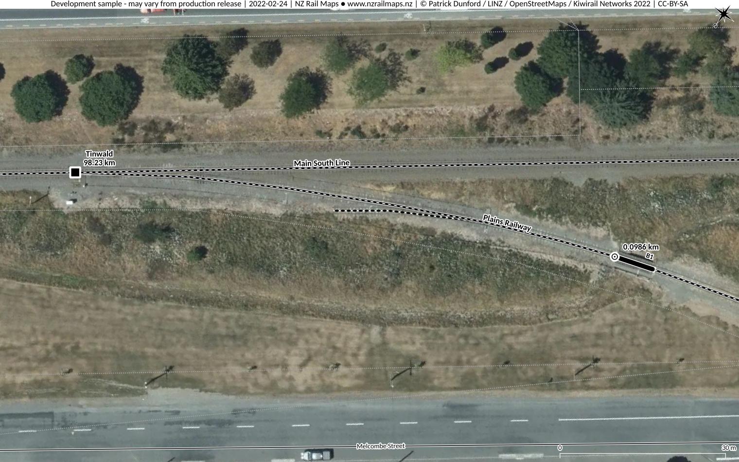
Bridge 1: This bridge is located at 0.1 km from the main line junction at Tinwald. This section became part of the Tinwald Branch from 1968. The track is now technically a part of the Plains Railway, although they do not operate trains on it in the normal course of their operations.
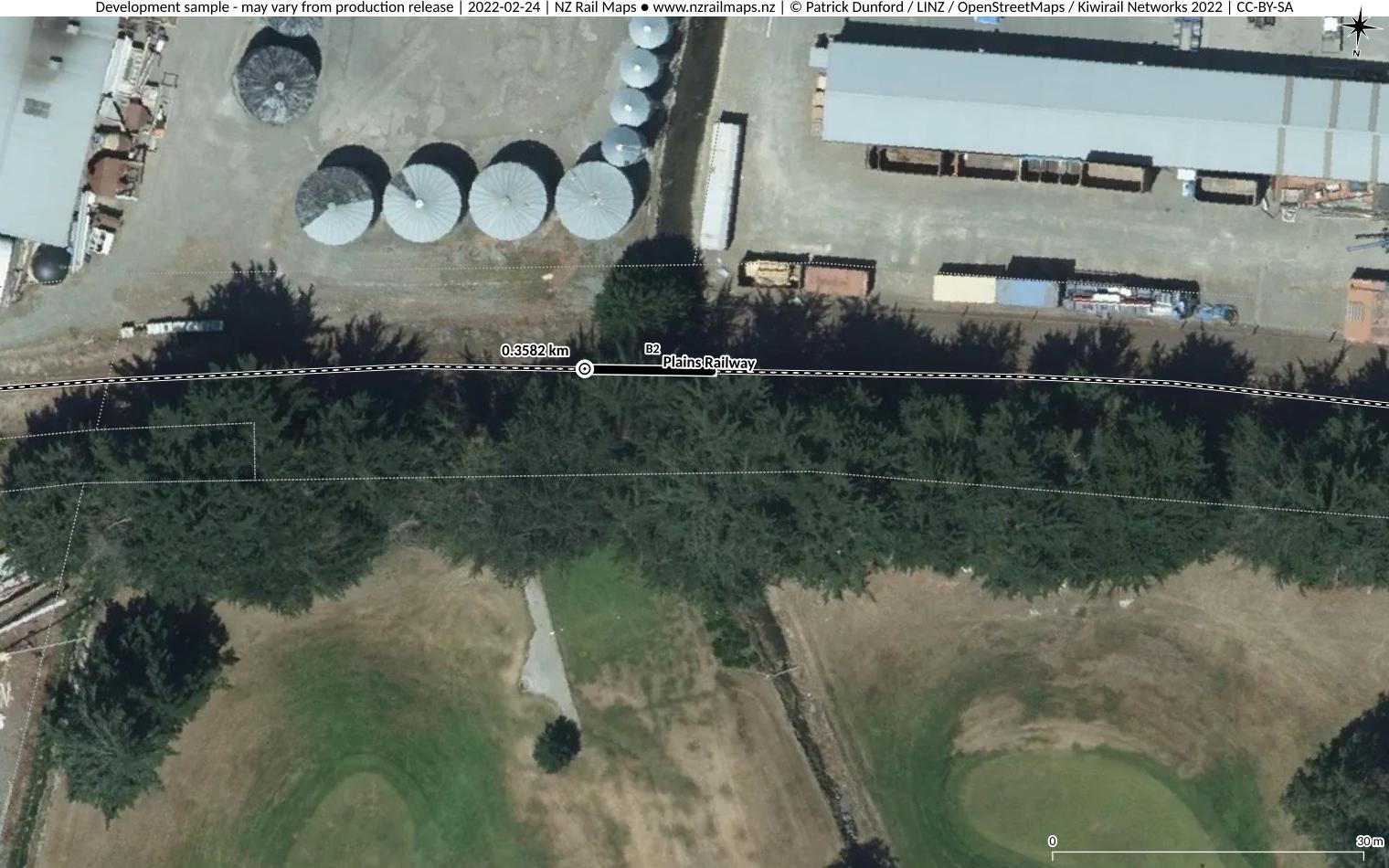
Bridge 2: This bridge is located at 0.36 km from the main line junction at Tinwald, crossing Lagmhor Stream. This section became part of the Tinwald Branch from 1968. The track is now technically a part of the Plains Railway, although they do not operate trains on it in the normal course of their operations.
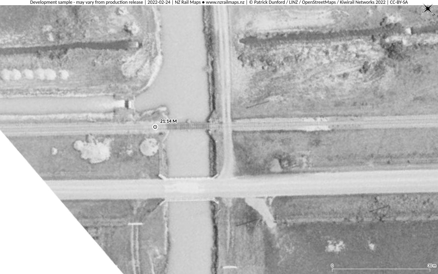
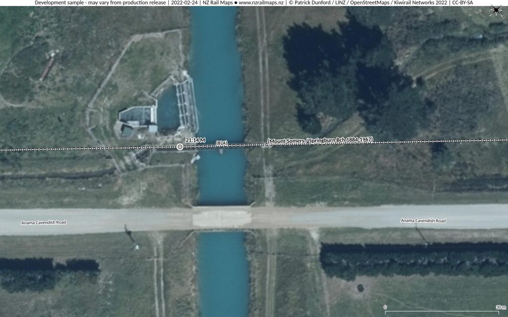
Bridge 2A: This bridge was constructed at 21 miles 41 chains, half a mile south/east of Cavendish station, and crossed the Rangitata Diversion Race, a large irrigation race built during the 1930s/1940s, which carries a flow of around 27 cubic metres per second. The water in the race is around 3 metres deep. The bridge was constructed in 1941 by the Public Works Department with two steel spans each 22 feet supplied by NZR as part of the irrigation project. The bridge spans were lifted after the line closed, being taken into stock by NZR for reuse elsewhere, but in recent years the substructure (concrete abutments and a central pier) has been reused to carry a small aqueduct across the race for a sub-race.
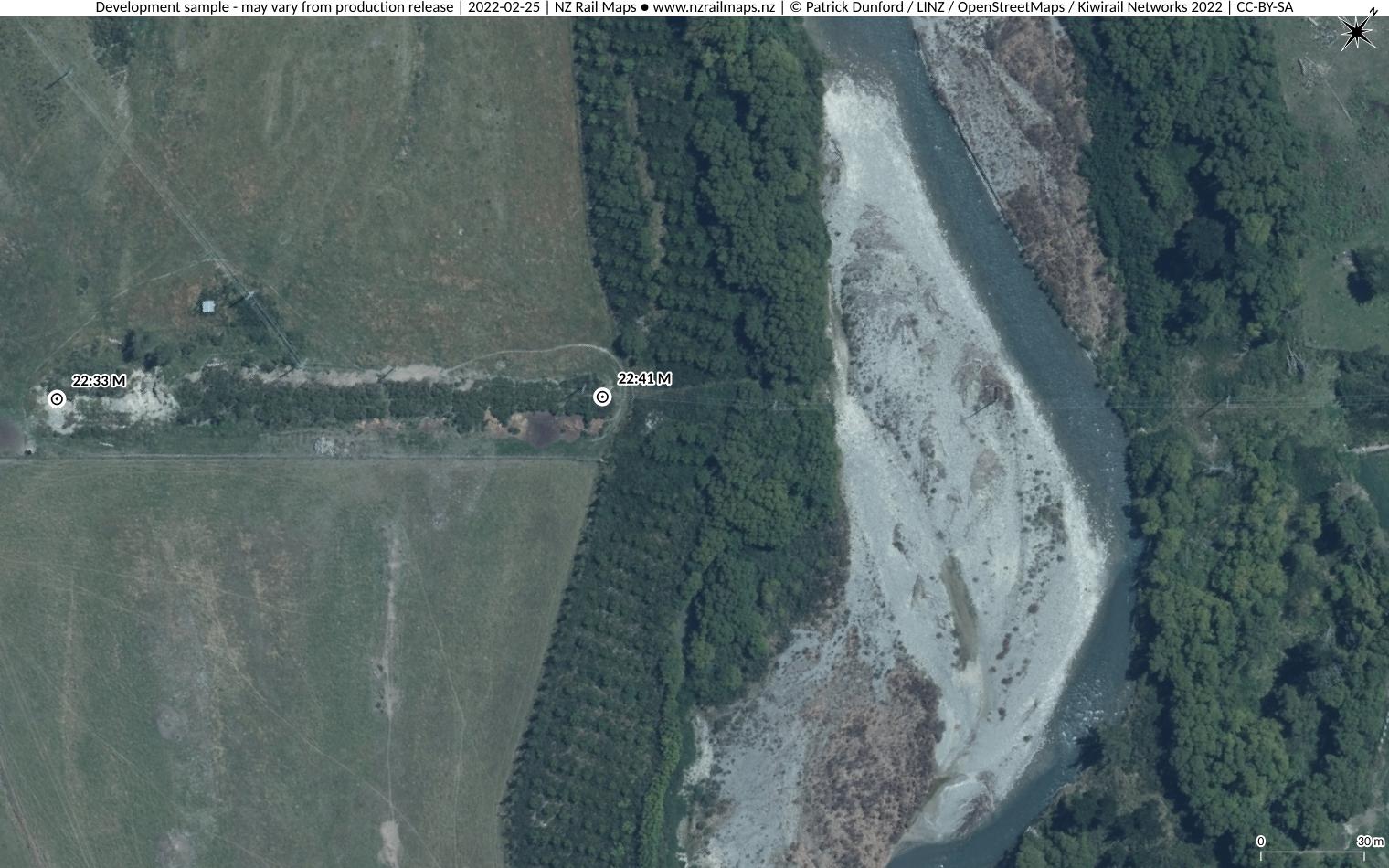
Bridge 3: The largest bridge on the Branch, it crossed the South Branch of the Ashburton River commencing a little over half a mile south/east of Mount Somers station. It was originally 1200 feet in length with 60 spans each 20 feet with the No.1 abutment at 22 miles 33 chains. Around 1911 it was rebuilt to be 8 chains shorter by filling in 26 spans at the No.1 end with an embankment. The rest of the bridge (about 680 feet) with the No.1 abutment now at 22 miles 41 chains, was changed (probably using second hand spans from rebuilt main line bridges) to one 12’3″ span, 16 Howe Truss spans each 40 feet in length and 2 additional spans at the No.2 end of unknown length, probably about 18 feet. A flood in 1945 washed out the No.2 abutment, spans 18 and 19 were replaced and two more added, lengthening the bridge to 21 spans and a total of approximately 720 feet.
During the mid 1960s it became clear that the bridge would need complete replacement at an estimated cost around 50,000 pounds (equivalent to approximately $2.5 million in 2022 dollars). Proposals were investigated to make Cavendish the terminus closing the line across the bridge. However in 1967 with the deferral of bridge repairs creating an urgent need to address deterioration and a drop in traffic on the branch occurring, the decision was made to completely close the line (although the Tinwald-Valetta section remained open until mid-1968). The bridge was sold for demolition in 1970 and only traces of the abutments and approaches remain today. It is not clear whether the abutments were upgraded to concrete at any stage of the bridge’s life, as was done with smaller original bridges on the line.

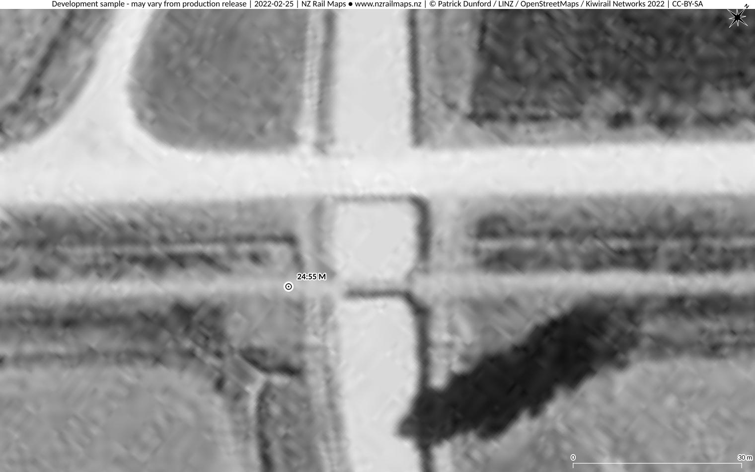
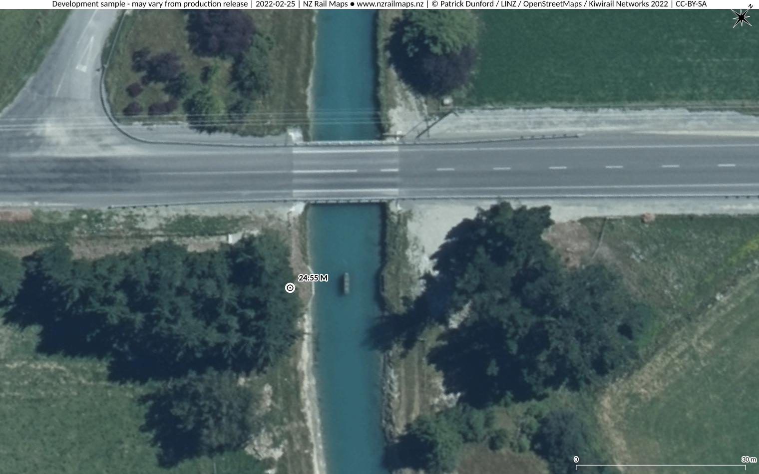
Bridge 3A: at 24 miles 55 chains near Buccleugh, similar to Bridge 2A but slightly shorter, it was also constructed in 1941 by PWD for the Rangitata Diversion Race irrigation project and consisted of a pair of 21′ steel spans on concrete abutments with a centre concrete pier. The spans were lifted in 1960 as part of demolition of the closed Springburn extension, taken into stock by NZR for reuse elsewhere, and the substructure remains in place today.
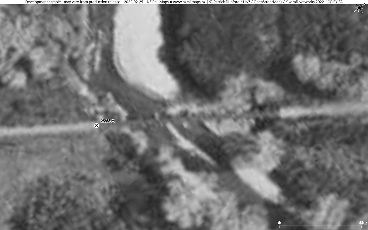
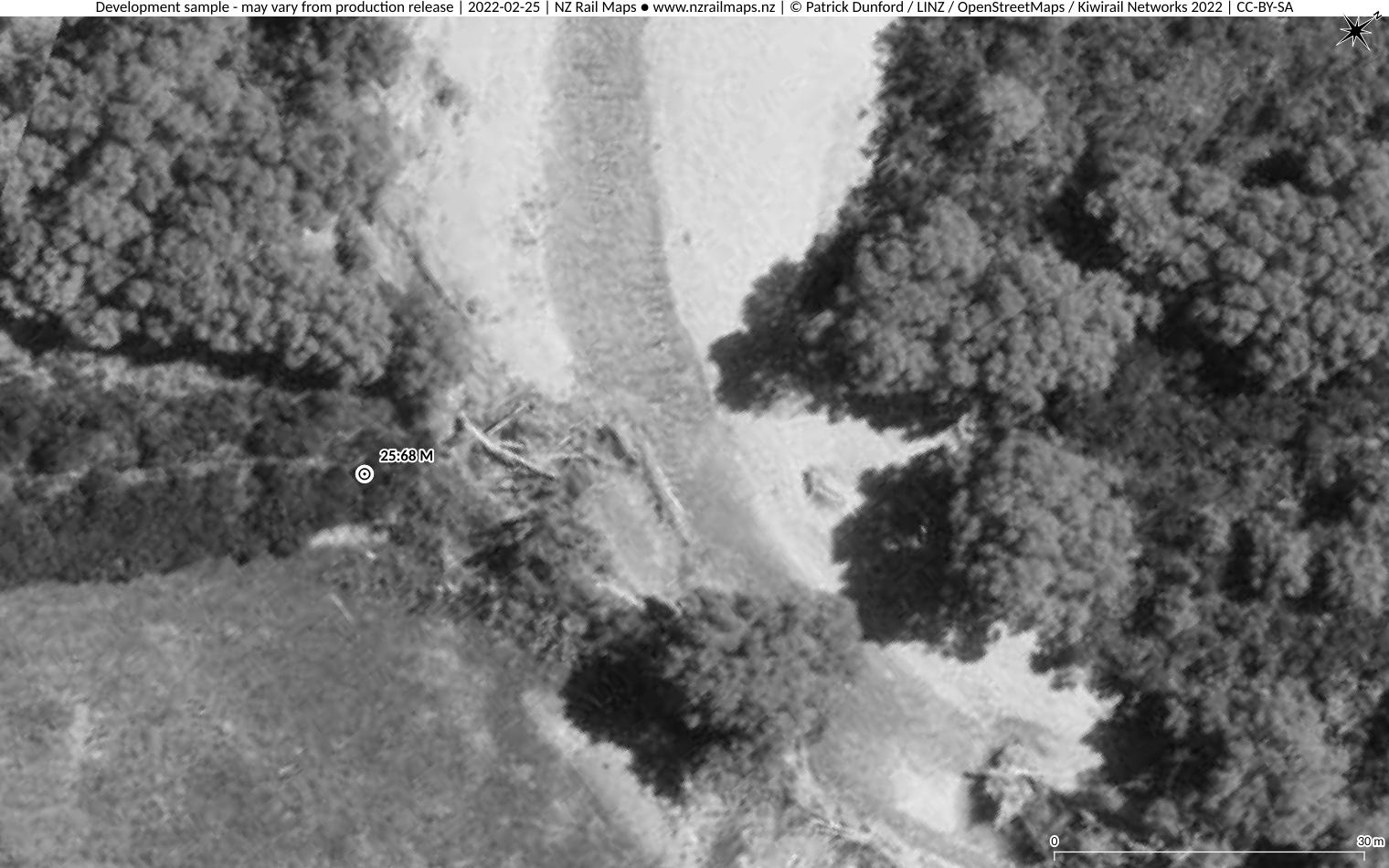
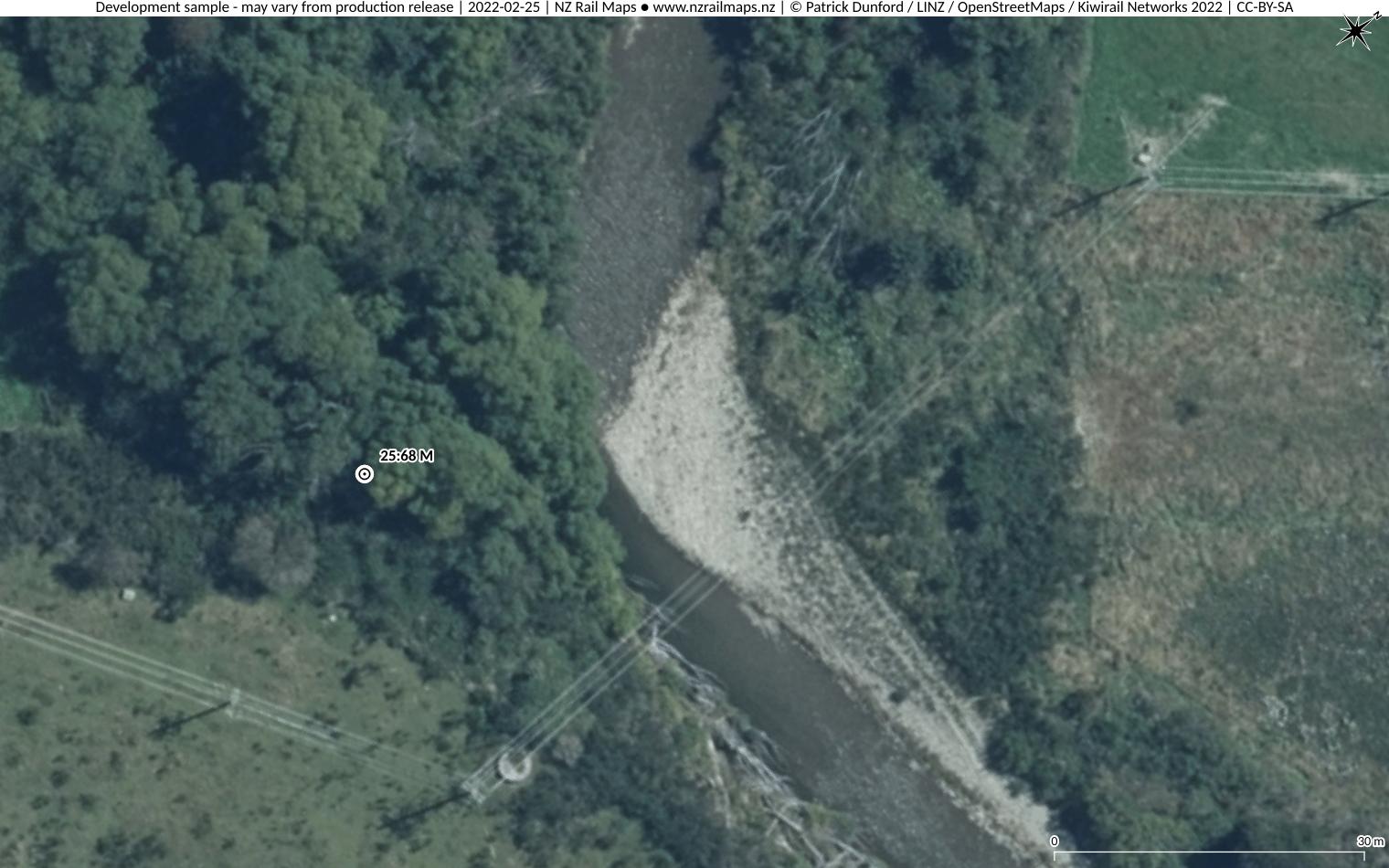
Bridge 4: This was the second largest bridge on the branch line and crossed Bowyers Stream at 25 miles 68 chains, between Buccleugh and Springburn. A file diagram shows that it consisted (at the time the diagram was drawn) of 1 11-foot span at the No.1 end, followed by 9 spans around 20 feet, and then at the No.2 end were three shorter spans around 8 feet. This would compute to a total length of around 215 feet, which corresponds well with a measurement of approximately 220 feet using measuring tools in the GIS. It is not clear whether the abutments were upgraded to concrete as was the case with the smaller bridges. Rock fill protection was arranged for the No.1 end abutment in 1953. The bridge was removed around 1960 when the track was lifted back to Mount Somers. The north/west (No.2) abutment is still reasonably clear today although the other end is enclosed in bush and its condition indeterminate.
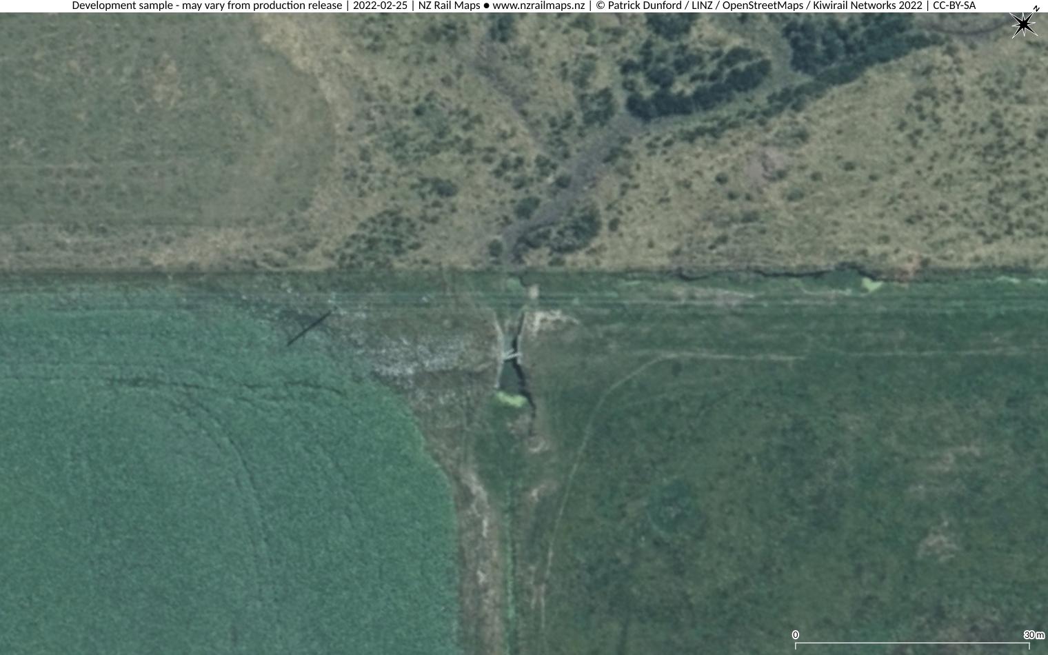
Bridge 5: at 26 miles 3 chains, on the north/west approach to Bridge 4. This bridge at the time of closure consisted of one 20 foot span of wooden beams on solid concrete abutments. The abutments remain in good condition and clearly visible on present day aerial photos.
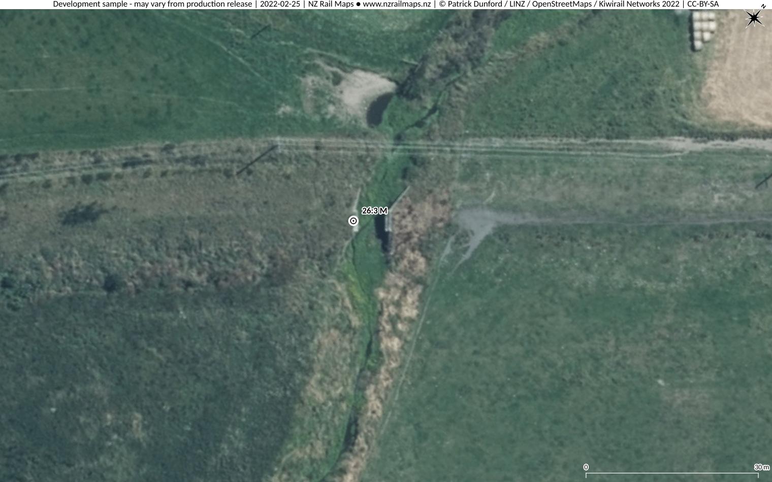
Open Culvert: Between Bridges 5 and 6, the concrete abutments of an open culvert are clearly visible in good condition. The span was probably about 10 to 12 feet with wooden beams.
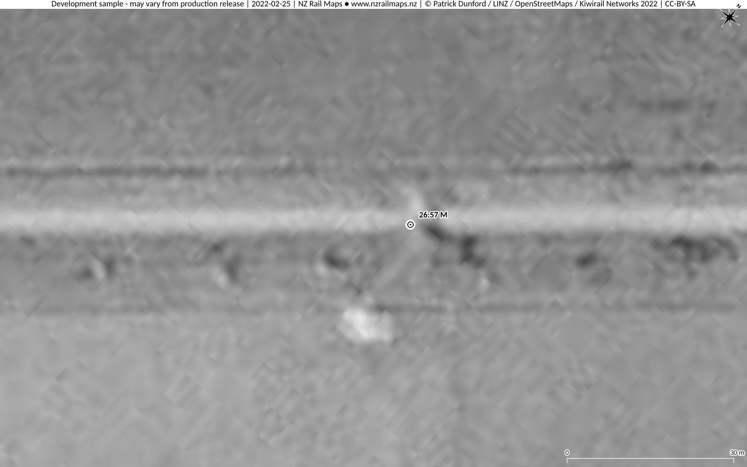
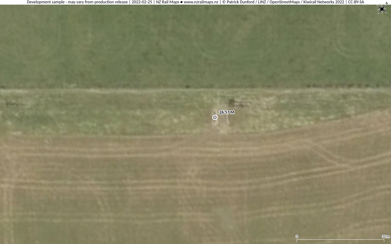
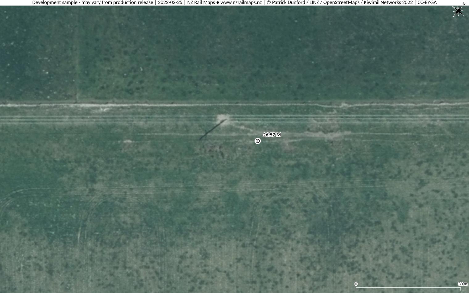
Bridge 6: At 26 miles 57 chains, it is about 100 metres south/east of the end of Stackhouse Road, the road that occupies the rail reserve south/east from Springburn Station. The bridge incorporated a single span of 13 feet of wooden beams on, at the time of closing, concrete abutments. The abutments were clearly visible on 2012 aerial photos but have probably been filled in since then.
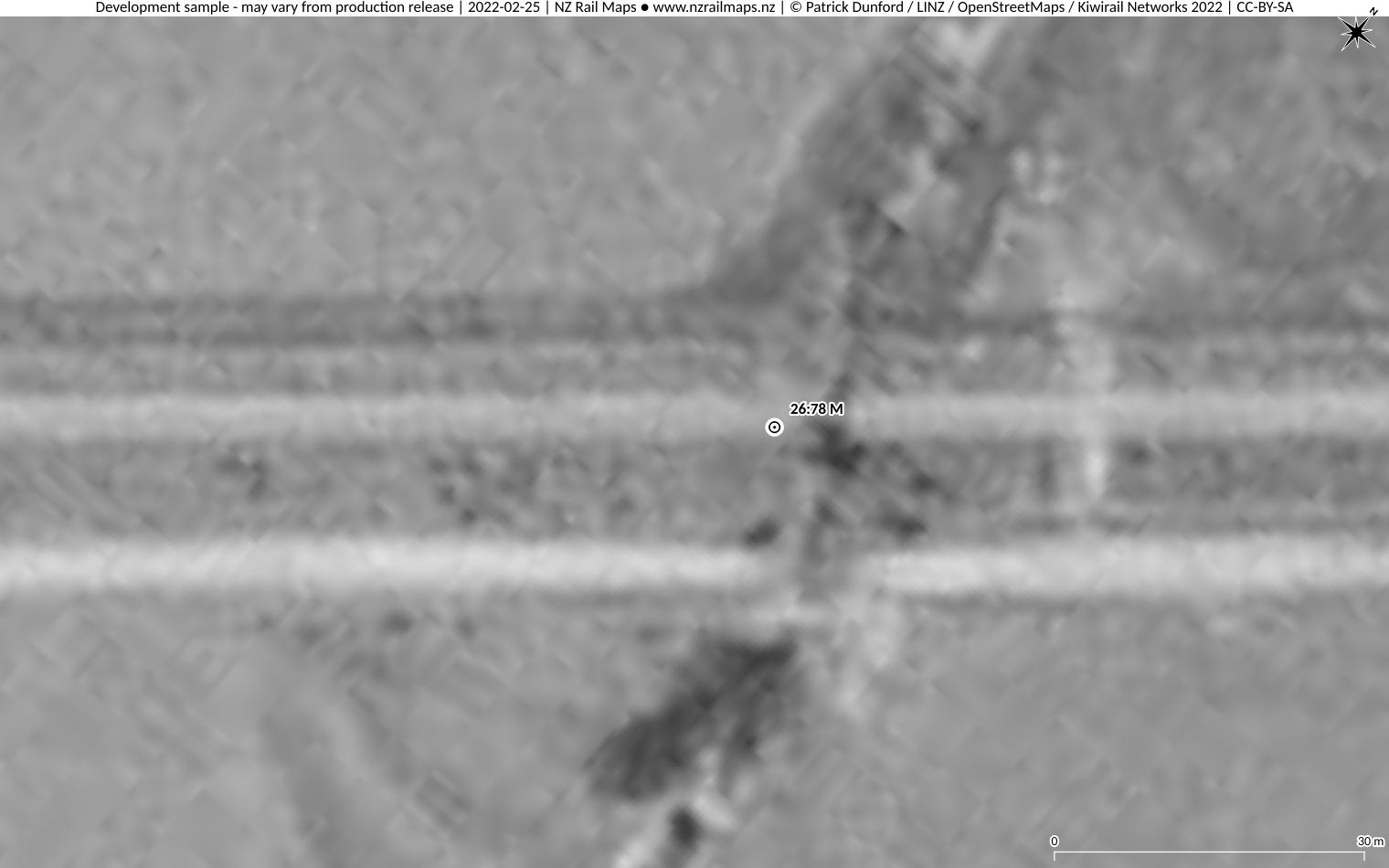
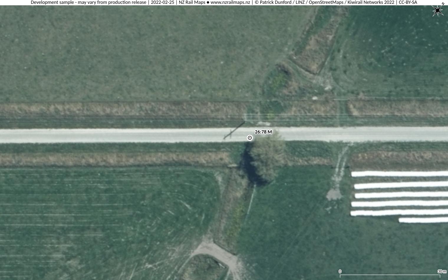
Bridge 7: About half a mile south/east of Springburn Station at 26 miles 78 chains. There was a single span of 13 feet wooden beams on concrete abutments when the line closed. Shortly after closure of the section in 1957, the Ashburton county council applied to have the railway reserve from Springburn to about 26 miles 30 chains (a total of just over 1 mile) redesignated as a road reserve, with the centre of this reserve aligned with the main railway track. This meant that the bridge site was incorporated into what became Stackhouse Road. There is still a bridge at the location today, but it is uncertain whether anything remains of the original railway structure.